Autodesk Civil 3D
Industry leading Civil engineering and infrastructure software for BIM projects
Overview
Civil 3D® software supports Building Information Modelling shortly BIM with combined features to enhance drafting, design and construction documentation.
- Project Explorer
Advance your workflows with GIS integration.
Features
Collaboration for Civil 3D
Securely access files, data shortcuts and xrefs from multiple locations and companies, all in a common data environment.
Connector for ArcGIS
Streamline the flow of data between ArcGIS and Civil 3D. Access the latest data and keep features information up to date.
Dynamo
Use the Dynamo visual scripting environment to develop routines that automate repetitive design tasks and expedite workflows.
Bridge design
Co-ordinate workflows more efficiently across the various disciplines working on complex bridge design projects.
Pressure network
Use enhanced tools for more efficient pressure pipe network layout and design.
New public transport and rail design features
Expanded toolkit for public transport and rail design including spiral, dynamic alignments, profiles and superelevation design.
Extended Features
Surface Modelling:
- Point clouds – Usse and display point cloud data.
- Surface creation from point cloud data – Create TIN surfaces from point cloud data.
- Design surface creation – Use tools to create dynamic surfaces.


Site and Survey
- Parcel design – Automated parcel design tools.
- Grading – Terrain models for grading.
- Relative elevation feature lines – Obtain feature lines from a surface or relative to a surface, so feature lines update with changes to the surface.
Storm and sanitary :
- Gravity pipe networks – Tools for sanitary and storm drainage systems.
- Storm and Sanitary Analysis software – Dynamic models enable stormwater management.
- Analyse gravity networks – Measure pipes and inverts to HEC-22 2009 standards.

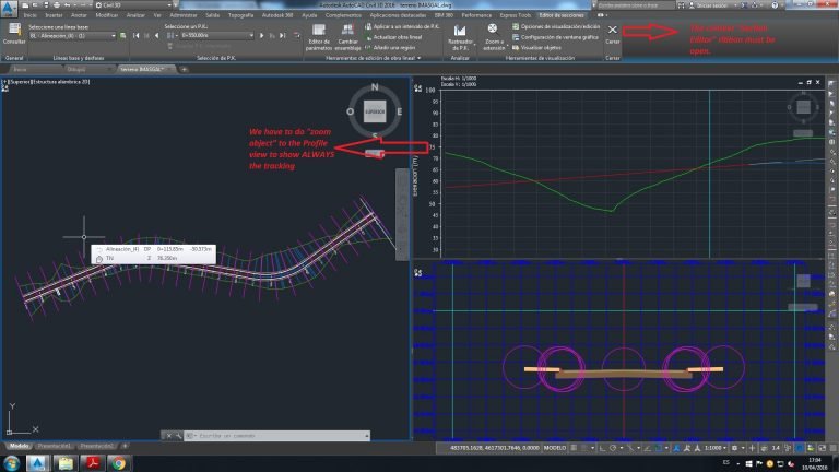
Corridor Monitoring:
Corridor design -Tools for corridor modelling.
Advanced roundabout design – Bring new roundabout designs into Civil 3D.
Extract corridor feature line workflow – Easily extract multiple feature lines.
Plan Production and Documentation:
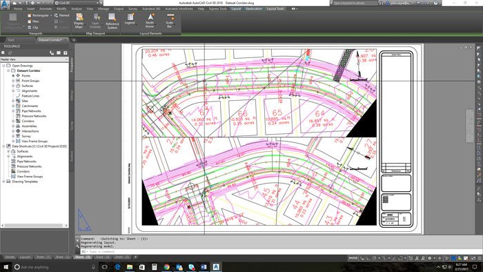
- Plan and profile sheet generation – Create plan/plan and profile/profile sheets by including multiple plan or profile views on a single sheet.
- QTO and earth work calculations – Extract and report material volumes and analyse quantities from materials and sectional or profile information.
- Construction Documentation – Generate annotated production plans.
Interoperability:
- Corridor data shortcut(DREF) – Create and share data shortcuts for corridors.
- 3ds Max interoperability – Create professional-quality visualisations.
- IFC import and export – Import and export AutoCAD solids to IFC files.

Pricing
Buy Civil 3D on an Annual Subscription or 3 Year Subscription. Get more value from an Architecture Engineering and Construction Collection.
Add-Ons
Check out these programs and plug-ins to boost productivity even further.
Contact Us
If you would learn more about Autodesk software, please contact us by calling on 1800 490 514, by filling out the form or clicking the live chat in the bottom right-hand corner.


